Catalina Island by the numbers

Catalina Island by the numbers
“How big is Catalina Island” is a question asked by thousands of visitors every year. While the question may seem simple, there is more than one answer.
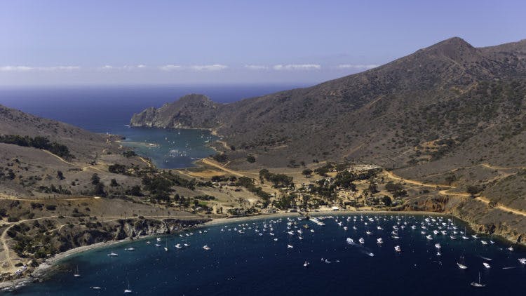
Catalina Island is about 76 square miles, with nearly 90 percent of the island protected in perpetuity by the Catalina Island Conservancy. From Seal Rocks on the Island’s East End, to the aptly named Land’s End at the far West End is about 21 miles. Catalina’s narrowest point is The Isthmus – it’s just about half a mile from Isthmus Cove on the leeward side of the island to Cat Harbor on the windward side. At its widest, the also aptly named Long Point, Catalina Island is about eight miles across.
Catalina Island offers more than 50 miles of coastline to explore, ranging from popular beaches to isolated coves and from rocky precipices to smooth, sandy expanses. Its rugged terrain rises nearly 2100 feet, with its highest point, Mt. Orizaba, reaching 2,097 feet above sea level.
Population wise, Catalina Island is home to more than 4,000 people, with nearly all of them living in Avalon. Tiny communities live at Empire Landing and Middle Ranch and just about 200 people make their homes in Two Harbors. About one million people visit Catalina Island every year, arriving via cruise ship, Catalina ferry boat and helicopter, as well as private boats and planes.

Catalina Island, California
